Middle atmosphere temperature profile retrieved using an OEM (red curve) compared to the traditional analysis using 2 detector channels (blue and green curves).
A lay summary of the paper is available at the Optical Society of America’s Spotlight on Optics.
We have recently published a paper in Applied Optics detailing a new method for retrieving temperature from Rayleigh lidar measurements using an optimal estimation method (OEM). The OEM allows a full systematic and random uncertainty budget to be done for each retrieval, specifies the height to which the retrieval is insensitive to the a priori temperature profile and gives the vertical resolution of the retrieval as a function of height. The ability to determine the full uncertainty budget is particularly important for using the Rayleigh-lidar temperature measurements for determining long-term changes, particularly for multi-instrument networks like NDACC or GRUAN.
The method uses a free community-supported OEM solver developed by P. Eriksson and colleagues (qpack, part of the ARTS retrieval software package). We encourage you to try this method, and we are available to help answer your questions as you implement it. Bob and Alexander
“Suspenders. Don’t forget suspenders,” McCullough said. “We’re both kind of short. All of our Arctic gear, which is loaned to us, even the super-powered snowpants, are a little on the big side. So the suspenders keep your pants up. But, it’s even better than that.
More Arctic Life Advice from Crow Emily to cheechako Crow Sham on their current Arctic travels in the article. Emily is safely back South and Sham is continuing to run the lidar as part of the Canadian Arctic ACE/OSIRIS Validation Campaign.
Crows Emily and Sham are back in Eureka for the ACE Arctic Campaign. As readers will know, Emily has been to Eureka several times. Sham is there for the first time. The picture shows her launching a radiosonde. I bet she is finding this quite a change from the winters in her native Sri Lanka!
Emily and Sham will principally be working on the Dalhousie CRL lidar, measuring water vapour, aerosol and cloud properties.
Crow Emily is featured in this timely article on the important scientific work being done in the Canadian high arctic at Eureka:
For Emily McCullough, a Ph.D student at the University of Western Ontario who is working at the lab, its key benefits include the powerful lessons she’s learned about how to do professional research, from planning a major experiment to anticipating problems like “what happens if the wolves come and chew my cables.”
But it’s also a place where she feels the work she does has an impact on Canada’s relationship to the rest of humanity. “Canada’s got a heck of a lot of the Arctic,” Ms. McCullough says. “It would be really great if we could contribute something to the understanding of it as a whole.”
In case you wondered what does the PCL’s transmitted laser beam look like when it is drizzling out. The answer is weird, instead of a steady bright green column you get all this “carbonated” bubbling in the beam from the water droplets.
Crow Andy joined us at the lidar last night and showed us this page from the Ontario Grade 12 Physics text: the PCL is now appearing in backpacks all over the province.
(this photo dates back to our location at the Delaware Observatory and was taken by Honorary Crow for Life Luc Girard).
Here’s some uncalibrated lidar measurements from the night of 21 June, 2013 which show what appears to be a faint smoke layer around 13 km. I did a quick and dirty run of HYSPLIT and the trajectories go back to Colorado in about 2 days. They descend about 25% of their initial height, e.g. as they go across the prairies they drop, for instance, from 10,000 m to 7,500 m elevation.
Uncalibrated returns from The University of Western Ontario’s Purple Crow Lidar, shows an apparent thin smoke layer around 13 km altitude. Full size image available here.
The Centre for Planetary and Space Exploration @westernu puts the spotlight on Crow Emily @uwophysastro. Is she really going to the North Pole every winter to look for Santa? Click the link above for the rest of the story.
Wow been just over a week since I left Switzerland after a (hard!) working group meeting on lidar temperature and ozone algorithms (part of the Network for Detection of Atmospheric Composition Change, NDACC, lidar group). The International Space Science Institute was very accommodating to us, the weather was too nice (hard to work indoors through much of the day) and the meeting extremely productive. The group (including NDACC lidar scientists not at this meeting) is working on various issues of our data analysis with the goal of further improving the uniformity of the global data sets available from the NDACC program. During the week we spent considerable time on several details, some of which seem at first to not be important to the problem at hand. For instance, using our temperature measurements in the middle and upper atmosphere to investigate atmospheric change requires a fairly precise knowledge of Earth’s gravity at the surface. So we have to expand our expertise beyond the atmosphere into other areas, which to me is a fun part of being a scientist.
Our working group leader Thierry had us marching along in tight formation all and we obediently followed (for a bunch of scientists).
We worked hard all day but enjoyed dining together in the evening.
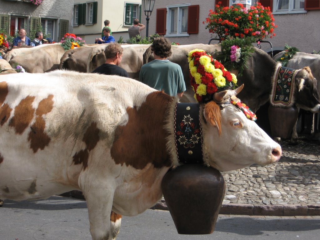
And not to worry! I got both a goat bell
and a cowbell (slightly smaller :-)
Pat and I have been happily clanging away all week. Here are a couple more pictures.
The Crows have become Night Owls and put in a Herculean effort in the last couple weeks to prepare and begin measurements with our Network for the Detection of Atmospheric Composition Change (NDACC) colleagues from NASA’s Goddard Space Flight Center. The group we are collaborating with is led by Dr. Dave Whiteman and their lidar system is called ALVICE: Atmospheric Lidar for Validation, Interagency Collaboration and Education.
The NASA ALVICE trailer parked out at Western’s Environmental Science Research Facility. The building housing the PCL system is just to the left of the trailer.
The ALVICE system is mobile, meaning that it can be transported in a self-contained trailer. The system can measure water vapor mixing ratio, aerosol backscatter/extinction/depolarization and temperature in both daytime and nighttime. The ALVICE group is not just from NASA but includes students and faculty from Howard University in Washington DC, as well as collaborating scientists from Brazil and Bolivia.
The goal of our measurements over the next month is to compare our measurements to validate our system calibrations, by inter-comparisons, balloon measurements, calibration sources and satellites. The balloon measurements include regular weather balloons plus ozonesondes and frost point hygrometers, which are carried up by a balloon into the stratosphere to measure the small (a few ppmv) but important amount of water vapour present (1 ppmv means in a cubic litre of air in the lower stratosphere for every million air molecules there is 1 water vapour molecule). The PCL has been able to do these validation checks in the past in the lower and middle troposphere (the lower part of the atmosphere below about 12 km altitude) but has not had the ability to validate its measurements in the upper troposphere and lower stratosphere (the UTLS).
The UTLS is of great importance in large part due to water vapour, as water vapour is important in the chemistry of ozone. If the temperature changes in the troposphere it affects the amount of water vapour which can mix into the stratosphere and interact with ozone. Assessing this situation is complicated. Weather and climate are highly complex systems that are fully nonlinear, meaning that small changes to the system in one location can cause large feedbacks throughout the system. Weather is inherently highly variable, particular at middle latitudes. To make matters more complicated, humans have a significant affect on the already highly unstable natural cycle. The body of evidence shows we are in a period of rapid warming near the surface that is due to human activity, which appears to be having significant affects on the weather. To further complicate the affect of temperature change, for a significant period of time we released a large amount of chlorofluorocarbons into the lower atmosphere, which made there way into the stratosphere and caused unnaturally large ozone losses, particularly at the poles (e.g. polar ozone holes). Goals of the NDACC program include trying to understand these interactions be making long term measurements of water vapour, ozone and temperature.
An image from the International Space Station shows a pileus cloud forming over the Sarychev volcanic eruption in 2009 (from the Wikipedia page on Pileus Clouds).
In addition to affecting ozone chemistry, the UTLS is a region of important dynamical interactions between air in the stratosphere and troposphere The tropospheric air can contain natural and anthropogenic pollutants, which are carried into the stratosphere and distributed on a global-scale before falling back to the surface, a process called stratosphere-troposphere exchange. We used to imagine that the stratosphere and troposphere were separated by a rigid “lid”, (the temperature inversion which defines the tropopause). During times of intense convection over cumulonimbus clouds a pileus cloud would occasionally be observed to form in the lower stratosphere, but otherwise dry, ozone-rich stratospheric air was separated from relatively moist, ozone-depleted tropospheric air. However, it is now known that when the speed of the jet stream intensifies in regions of surface cyclogenesis tropospheric folds can develop which can cause air to rapidly be exchanged between the upper troposphere and lower stratosphere.
It is just now being recognized another factor which can affect water vapour and ozone in the UTLS is due to forest fires. We are already at the start of what is appearing to be a extremely active fire season. A small number of these fires can develop into huge wildfires that can combine with severe thunderstorms, where vigorous convection is occurring. It was only recently appreciated that this convection can be so strong that smoke particles and carbon monoxide can be carried into the stratosphere and transported great distances. While initial reaction to this idea was met with some skepticism, measurements have clearly demonstrated this is the case. With global warming comes more forest fire activity, and pyroconvection may have significant implications on ozone and temperature change. There has been activity the last few days from fires out West that may bring some of this smoke over the London area.
Measurements of a smoke layer in the UTLS due to a fire in northern Saskatchewan (from Doucet, 2009).
I will post more updates as the campaign progresses. In fact I just heard we had a successfully FPH flight last night (though it looks like we would need a submarine to recover this one as it landed in Lake Ontario, drat!).
We're having an open house out at the new observatory. Come on out, the laser will be on and you can tour both our facility and ICFAR (Institute for Chemicals and Fuels from Alternative Resources) a centre at Western dedicated to developing new and environmentally friendly energy alternatives. Saturday, Nov 12, 5-8 pm.